
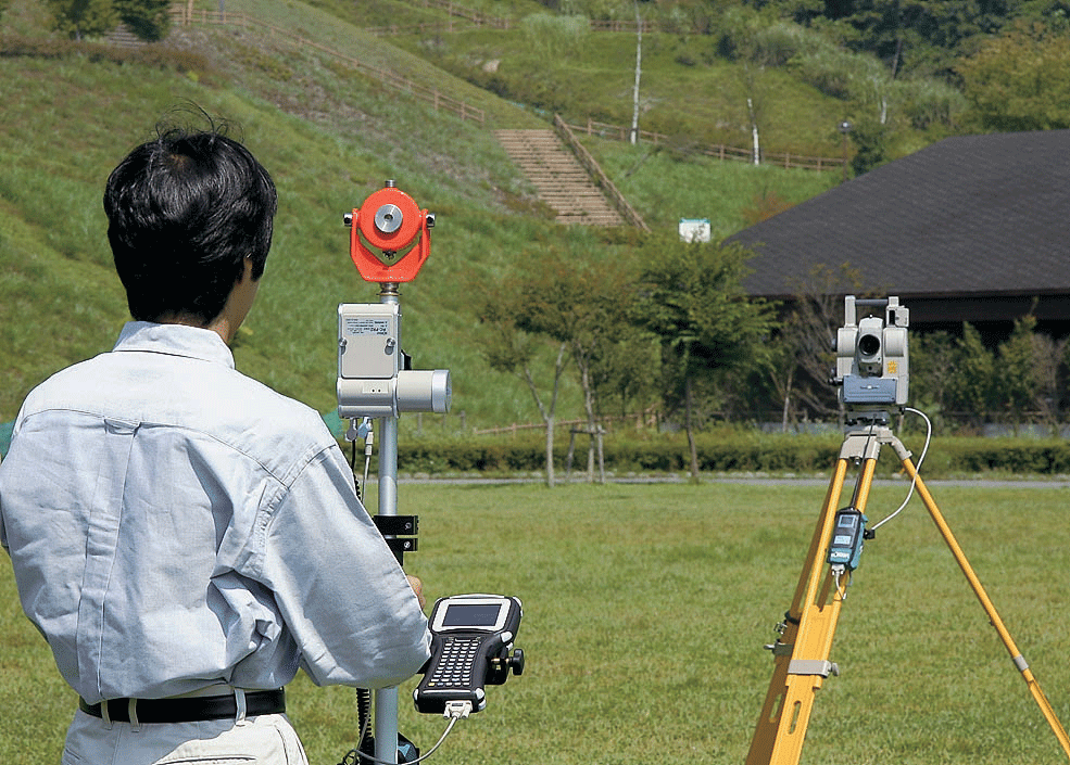
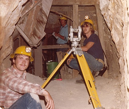
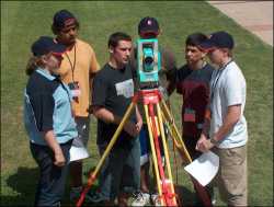
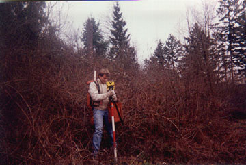
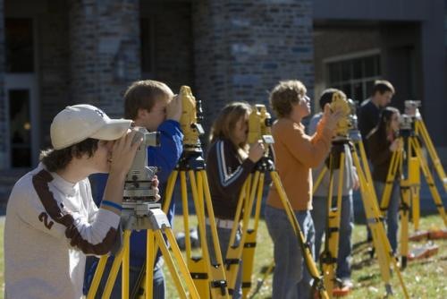
Field survey
Photogrammtry
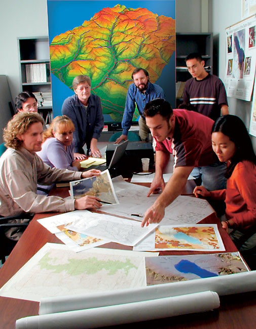
Geographic information systems
Fleet management system
Field Survey
Is the kind of survey, which employs a number of science and technology survey of its various branches, especially those for plane surveying in order to complete the work shown by the spatial relation to cut off private and public land ,put it on maps. And definition of the limits of land, and their locations, and the zoning and annexation, with the related rights, including participation in the design and construction of engineering projects of various roads, dams, canals, and airports, this branch consider one of the largest branches of the survey for multiple fields and sections
This branch is divided into three main sections:
Plane Surveying
Geodetic Surveying
High Geodetic Surveying
Plane Surveying
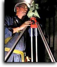
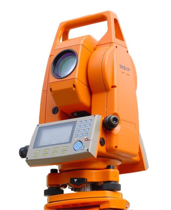
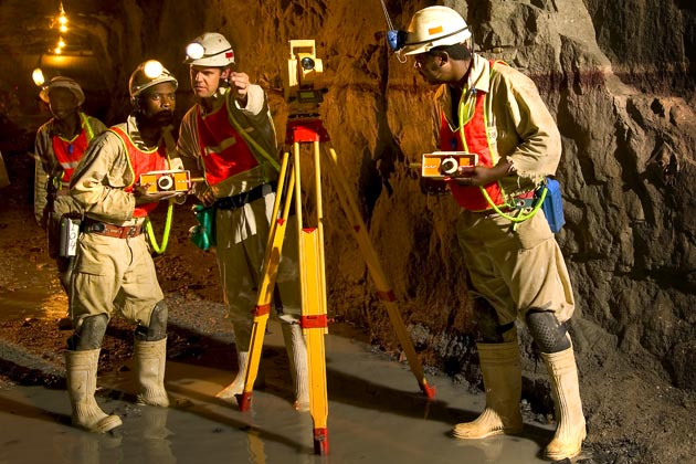
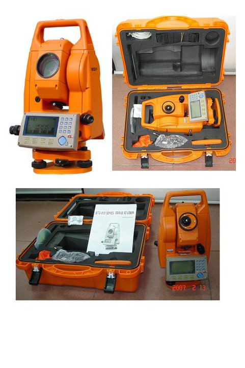
That branch of the survey which does not care about the curvature of the Earth in mind And depends on the basis of the flat surface of the ground in areas where it survey and total area of the region in which the survey to about 50 square kilometers without errors remember through the negligence of a spherical Earth and different methods of field survey, resulting in the creation of branches within this section and ranging from means of primitive and the stick and rope, tape, EDM and el-todoulat and the balance of the settlement, digital todoulat and the balance of the settlement and digital station integrated (Total Station), global Positioning System (GPS), to by aerial photographs and satellite images and then explain the resulting data from survey to produce maps , put their data and Falls under the rubric of field survey is topographic survey Concerned with mapping large areas with an indication of the widening its contents landmarks, natural and industrial Show high and low ground in the form of contour lines.
Geodetic Surveying
That branch is used to detect any area on the surface of the earth, the length and trends in the border lines and contour lines and location of key points
it is assumed that the spherical shape of the earth. The Convention was held by the geodetic International Geophysical Union in 1924 took 41.85296 million feet in diameter of the Earth at the equator and at the poles diameter is 41.71194 million on the computer is older than the diameter tropical and thus are taken measure distances along the curved surfaces and not on along straight lines, Determine the latitude and longitude by looking in the form of spherical earth,the points that are used to determine the shape and size and the coordinates of the earth's surface called the Geodetic Datum, Geodesic survey is divided into:
1- Engineering science of geodesy
Is a branch which handles identifying shape and size of the earth, link Geodetic across continents between the land masses different, and calculate the locations and lengths and directions of lines therefore this science in examining and determining the geometry of the Earth Also used to determine the exact location of the point in question or the region. There is a need to latitude and longitude for any construction engineering. This is type of survey is also interested in the application of surveying in the design of engineering projects, which are needed in different stages of the project starting from preliminary studies to the planning and implementation
2- Natural science of geodesy
The branch which cares to study and determine the Earth's gravitational field and the amounts and trends of the normal force (physical), which connect the ground objects located on the surface and those that exist in space
Some applications of Geodetic Surveying:
- Determine the movements and landslides that occur for the crust
- Extraction of oil from the deserts and oceans
- Routing the objectives of the intercontinental missile
- Air and sea navigation
- Surveys which specializes in earthquake
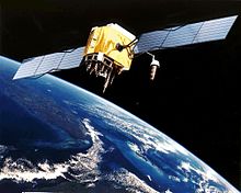
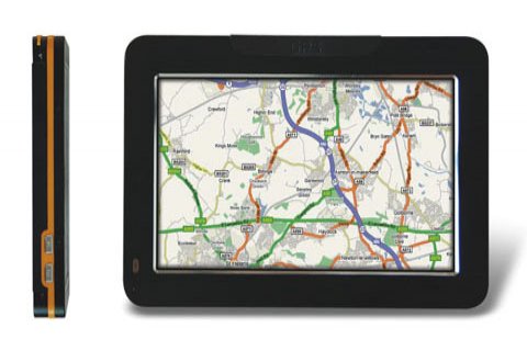
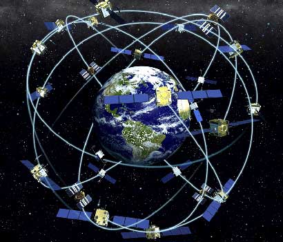
- Global Positioning System (GPS)
High Geodetic Surveying
A branch which handles the creation of Cadastral surveying or part of the topographic maps in a larger scale, measure and identify large areas of land with the account the spherical earth , the different distribution of mass within the Earth by studying the dimensions and properties of Alasfroed and calculate the point of the level of the meridian and calculate distances on the surface of Alasfroed and calculate the linear distance between the confined and the demise of this latitude through the establishment of triangles by points in order to show maximum of details and units of property and agricultural property and buildings, also known as Cadastral surveying
There are other types of survey:
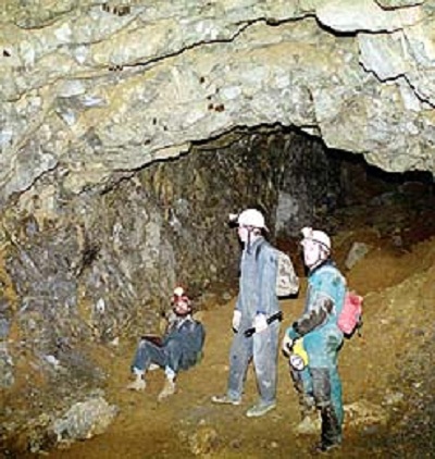
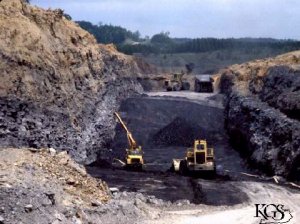
Surveying Mine
This section is concerned with the geological survey of the areas of optical explore the rocks to get the minerals discovered
Hydro Graphic Surveying
Is the science of the specialty of producing maps that affect navigation, and marine construction and dredging to explore for oil and measuring depths and find the average level of surface Searouguias water currents and tides as well as for the production of nautical charts and sometimes used the term is synonymous with hydrographic to describe marine maps, uses the raw data collected during the hydrographic survey of the information can be used by the end user.
|
|
|
|
|
|
|
|
|

|
|
|
|
|

|
.jpg)
|